Dennis Haupt [3DHaupt]
3D-Modeling-Texturing-Rigging-Animating-Since-2008
ICE train on a digital terrain model | Test 2
Here is another animation test with focus on the train.
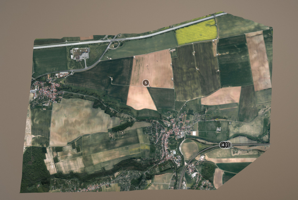
The elevation data for the DTM (digital terrain model) and the aerial photography / orthophoto of Erfurt were provided by the Geoportal-TH and can be downloaded free of charge.
http://www.geoportal-th.de/de-de/Downloadbereiche/Download-Offene-Geodaten-Thüringen
ICE on a digital terrain model | Test 2


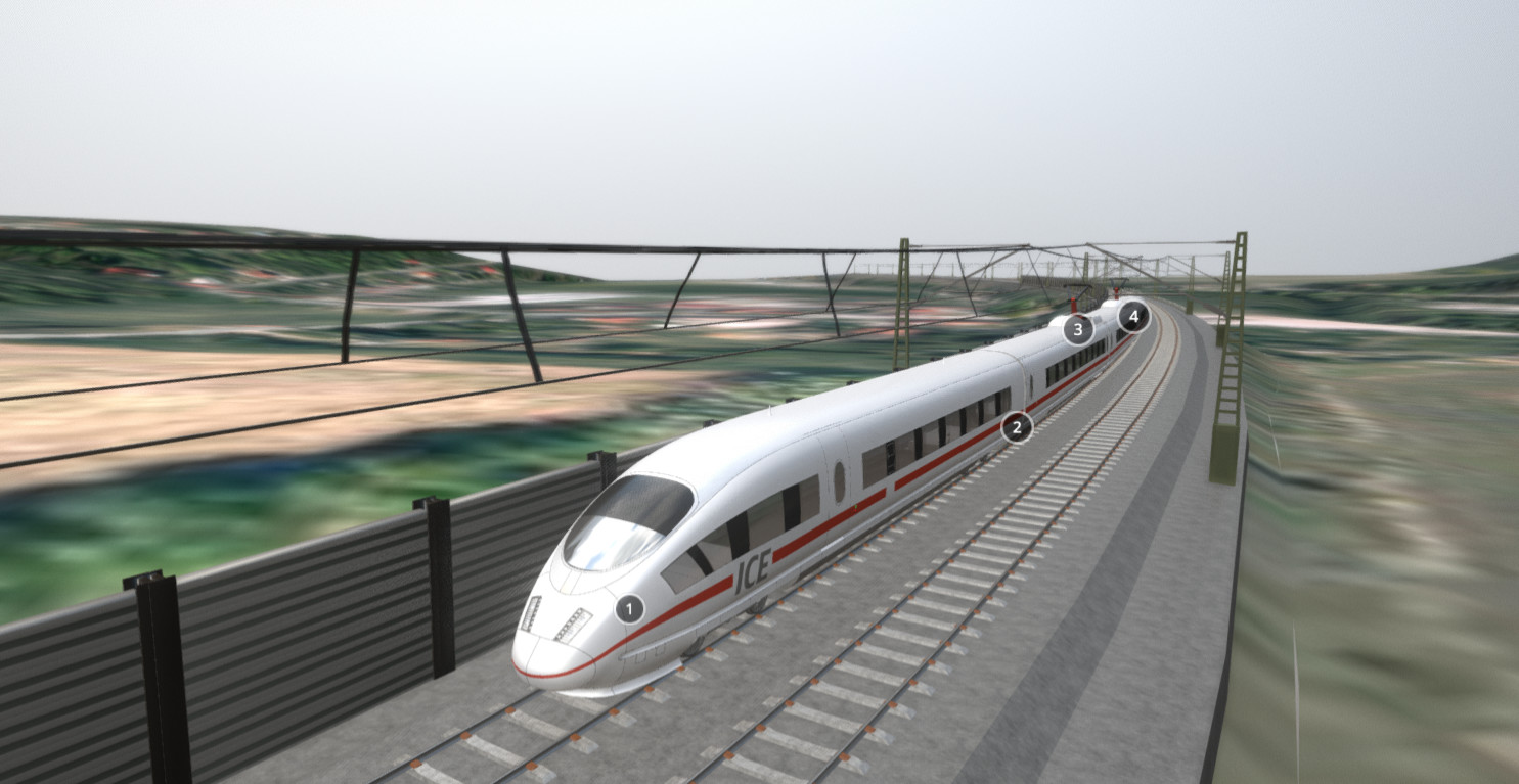


ICE test on a digital terrain model from Erfurt